Steinkjer
Take a Trip to Norway’s Geographical midpoint. Here, you can enjoy the tranquillity of nature and recharge both body and mind. The trail is slightly uphill, but the terrain is easy to walk through. This is an ideal day trip for those looking for a refreshing outdoor adventure.
Day Trip to Norway’s Geographical Centre
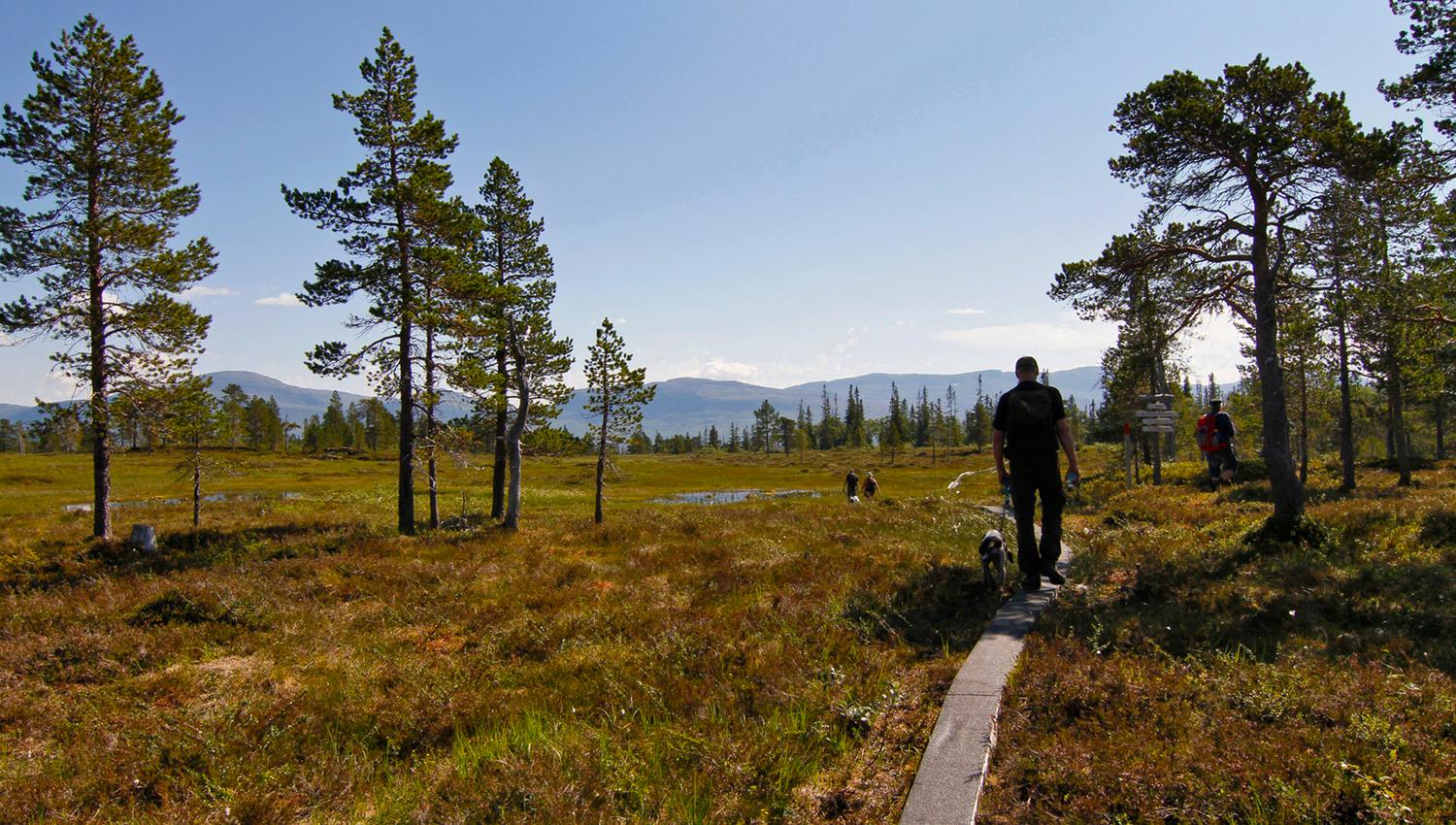
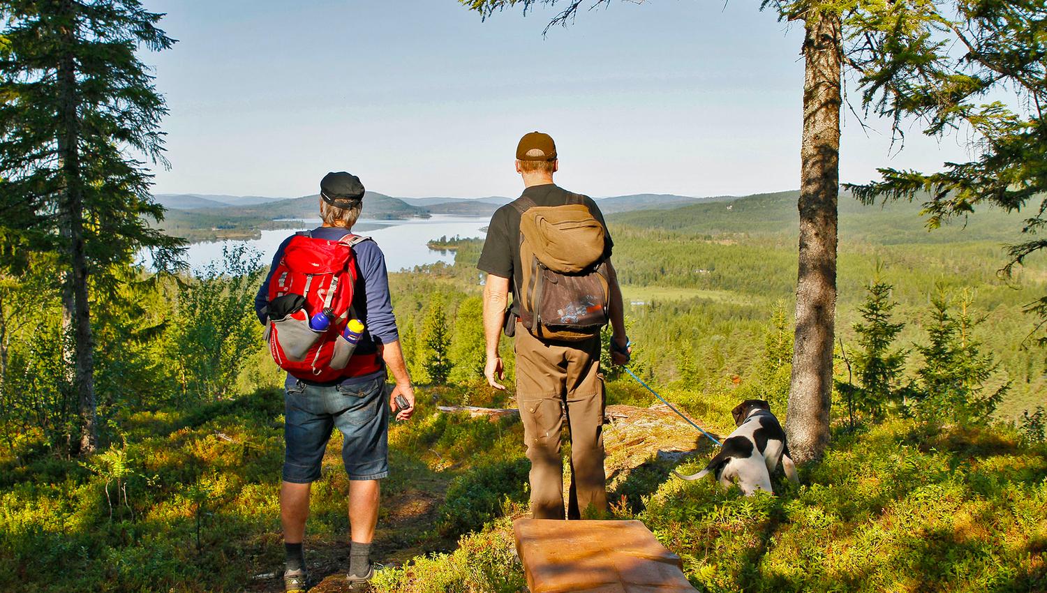
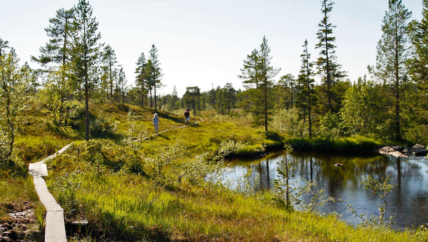
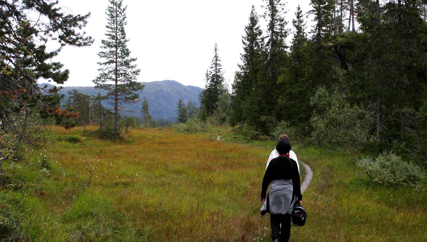
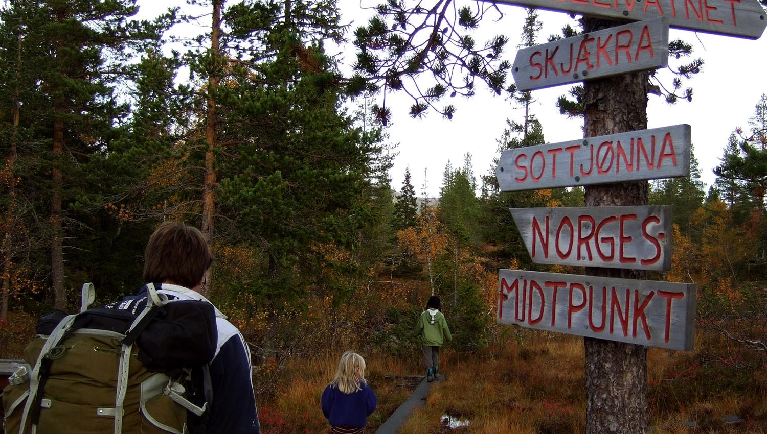
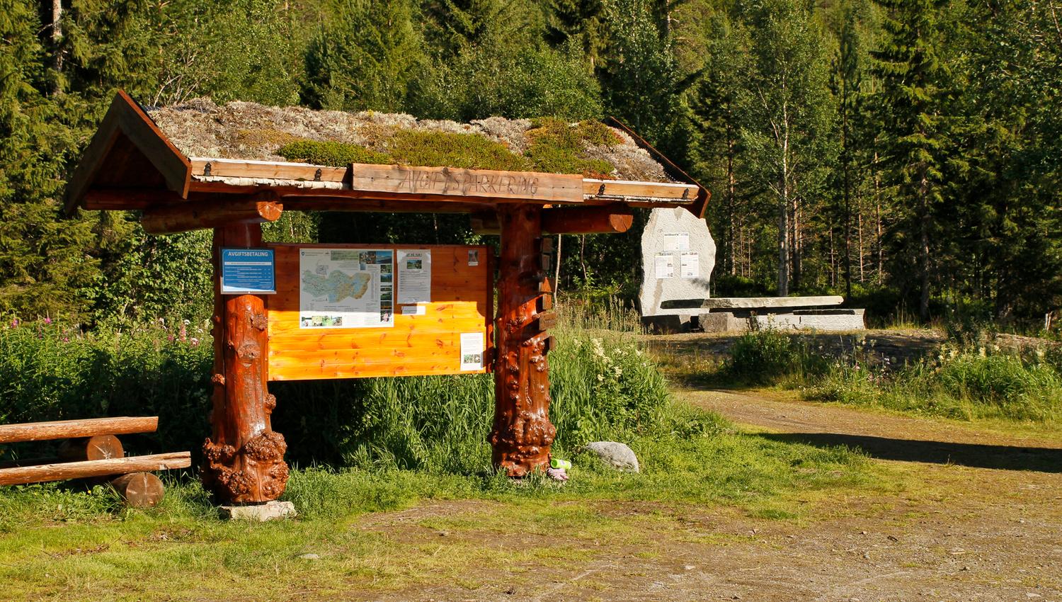
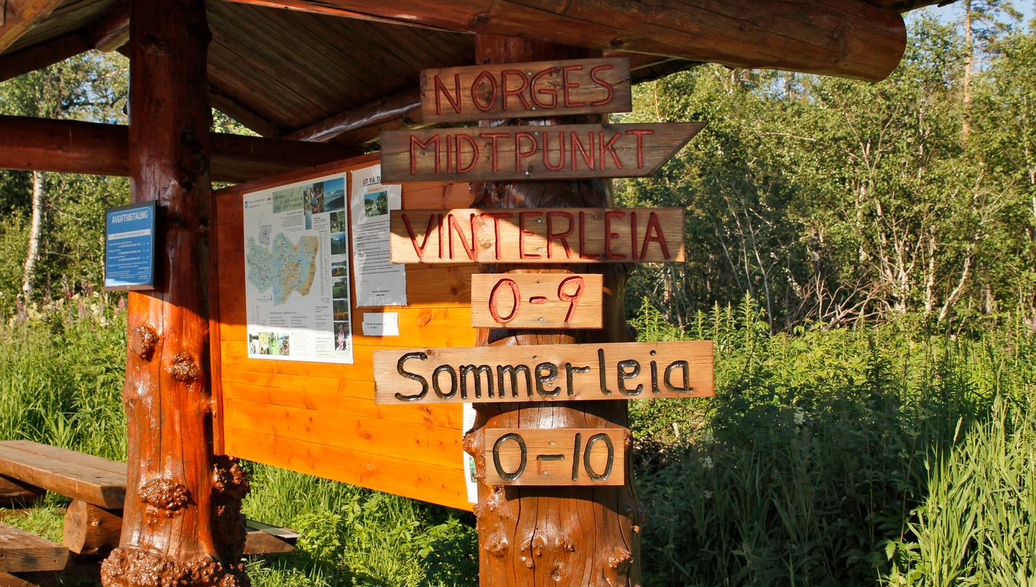
Park your car at the Lustadvatnet car park, located 40 km from Steinkjer town centre. This is the starting point for reaching Norway’s geographical centre and the Blåfjella-Skjækerfjella National Park. The trail to Norway’s geographical centre is well-marked and consists of wooden railway sleepers. The round trip distance is 20 km, which takes approximately five hours to complete. Along the way, you can take in the stunning views of Skjækerfjella, located within the national park.
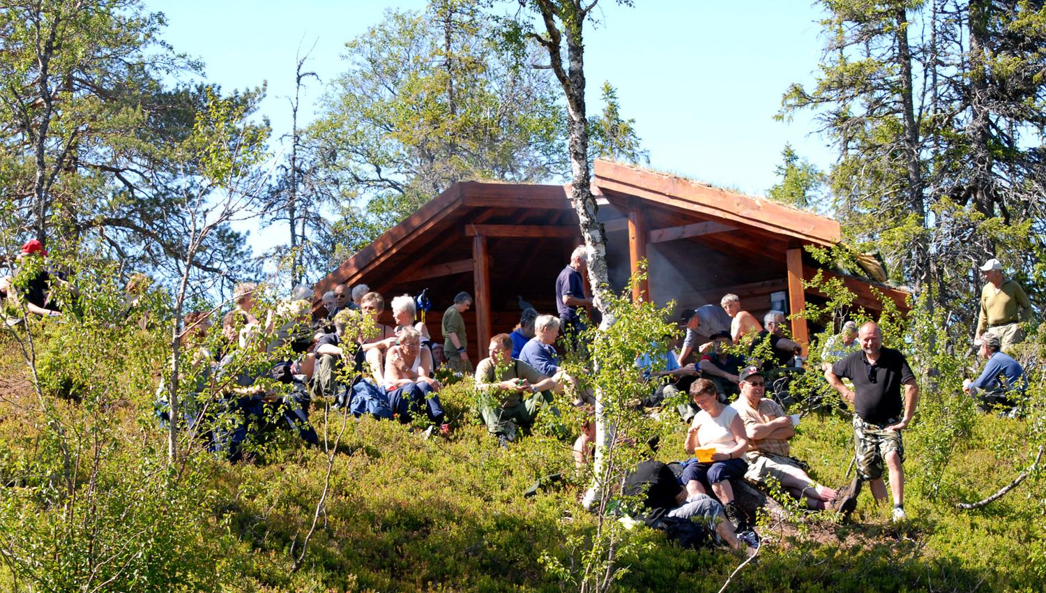
Upon reaching Norway’s geographical midpoint, we recommend a meal break at the rustic shelter / lean to, where there is a designated fire pit. After a well-deserved rest, the journey continues back to the car park.
This trip is also an excellent starting point for multi-day hikes, with several overnight options available near the midpoint.
Cabin Rentals Near the Centre
Steinkjer Kommuneskoger and Snåsa Fjellstyre offer rental cabins near Norway’s geographical midpoint, which you can easily book through inatur.n.
Lustadstua
Skjækerhytta
Lågvassbua
Skækerosstua
Experiences nearby
If you’re looking for a great meal and an overnight stay, Mokk Farm is located just 3 km from the car park. Upon arrival at Mokk Farm, you’ll have time to shower and relax before dinner. It is also possible to hire a guide to accompany you on the hike.
If you’d like to add some extra activities before or after your trip to Norway’s geographical midpoint, Mokk Farm offers guided cave tours, visits to old copper mines, and canoe trips.
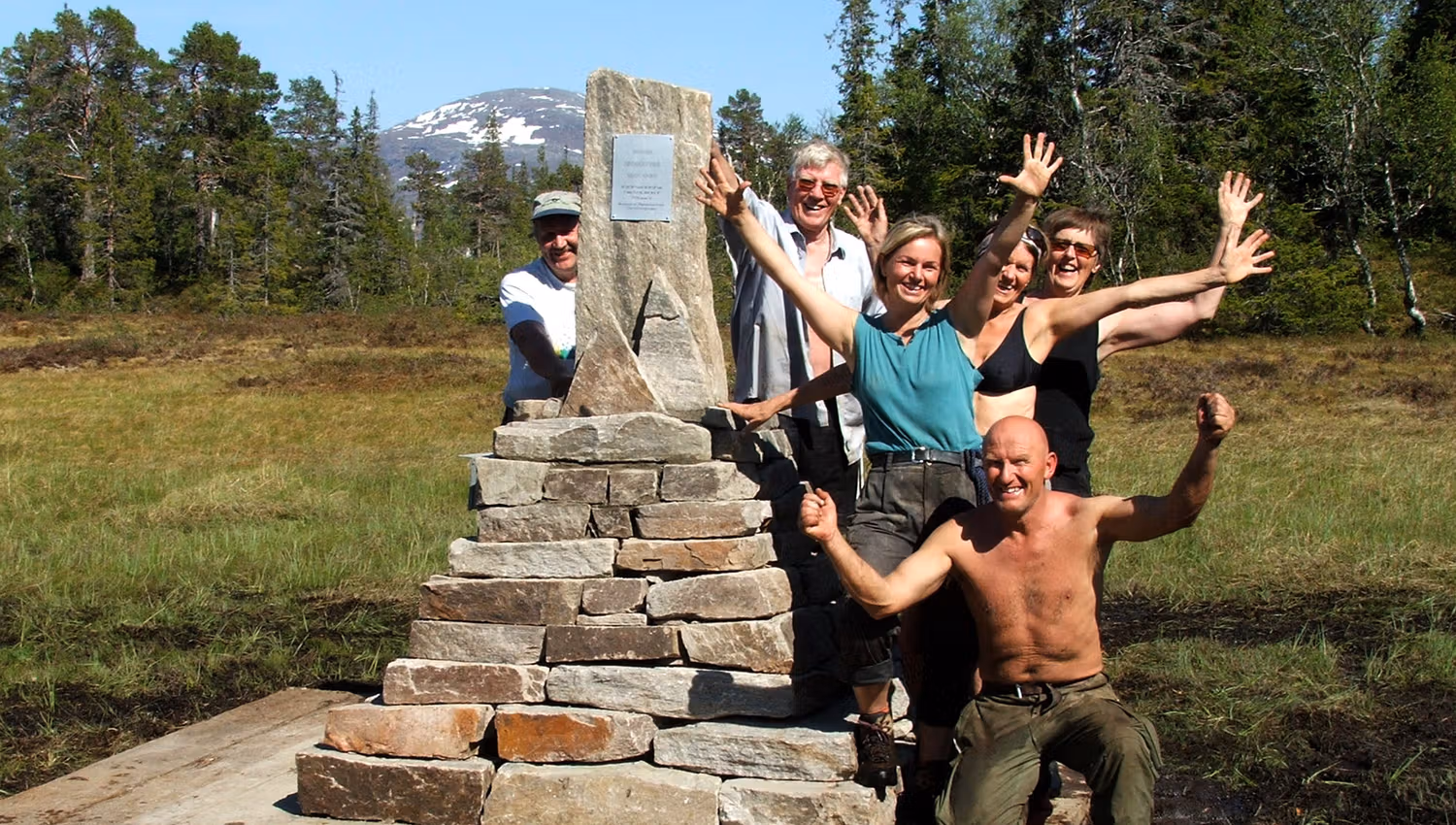
Norway’s Geographical Centre
Declared by the Norwegian Mapping Authority as Norway’s geographical centre of mass, the point is located in Steinkjer Municipality. To calculate the centre, the total area of mainland Norway, including islands but excluding Svalbard and Jan Mayen, is taken into account. This method can be visualised by cutting out a map of Norway along the national borders and coastline, imagining the islands connected by weightless bridges, and balancing the map on the point of a compass.
See more about the hike at Ut.no where you also find a zoomable map.
Enjoy your trip!
Bron: Innherred Reiseliv