Beito
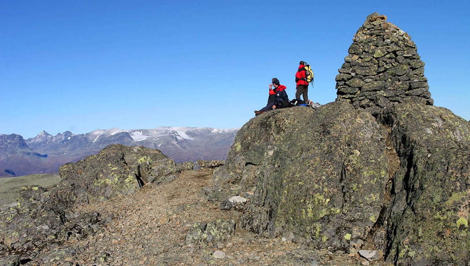
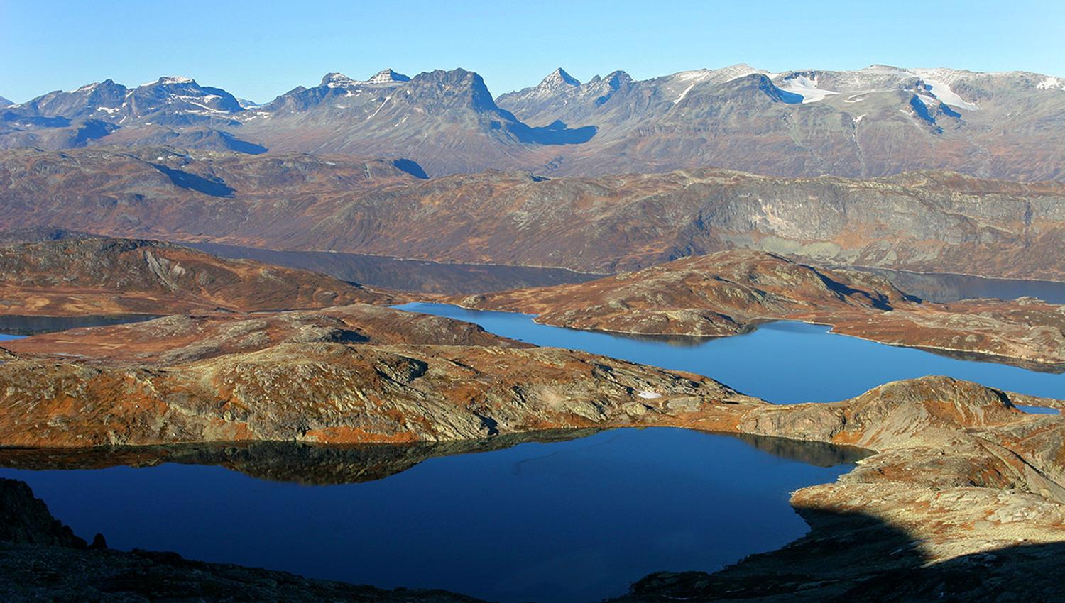
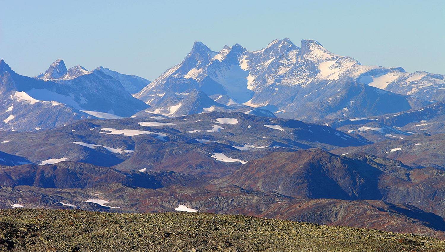
Moderately demanding walking (no climbing or scrambling) ascent. Highly rewarding view from the summit towards Jotunheimen and Valdres.
Tour description
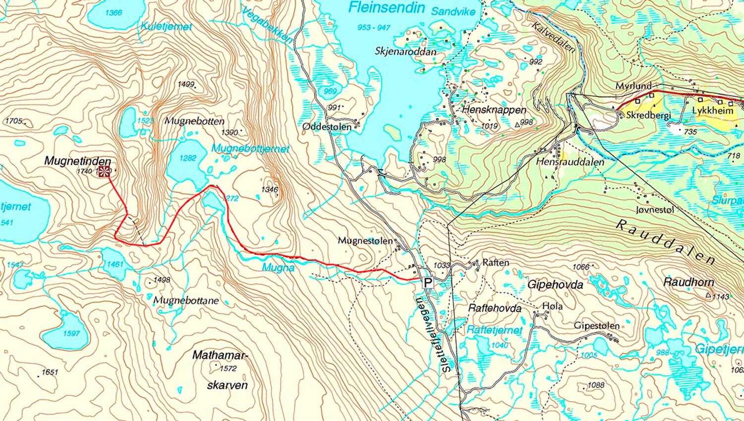
Length: approx. 6 km one way
Duration: approx. 2.5–3 hrs. up
Elevation gain: ca. 750 meters
Suitable for children: from 8 yrs.
GPS-coordinates starting point 32v 485400 6789425
GPS-coordinates summit 32v 4811957 6790683
From Beitostølen, drive to Beito and follow the signs towards Slettefjellvegen (toll road). Drive past the toll station, continue past Fleinsendin and turn left at the intersection. Parking area on the left side of the road, near Mugnestølen, approx. 3.5 km from the toll station.
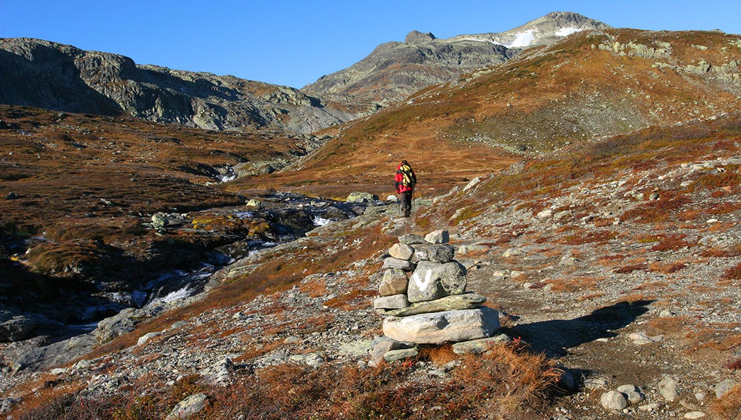
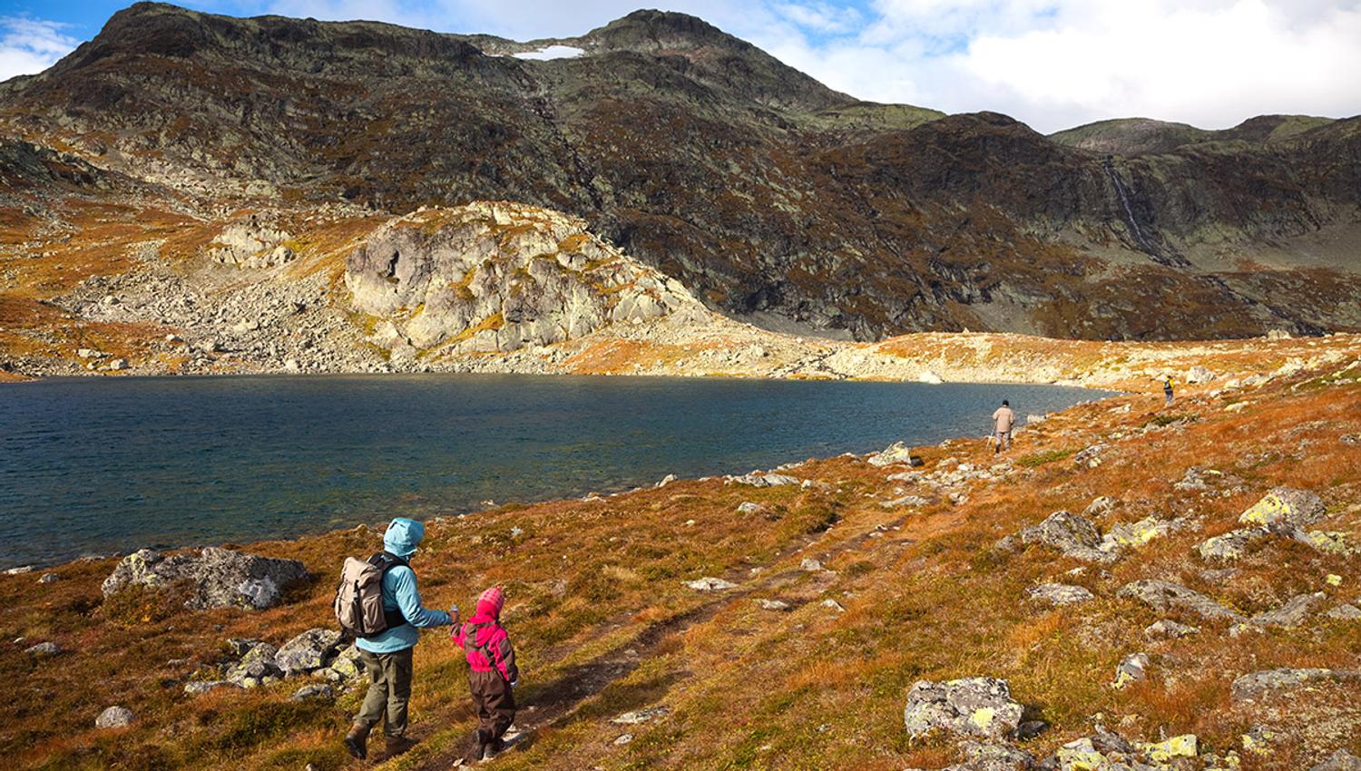
The path starts on the opposite side of the road and is marked with cairns and white V’s. It leads gently uphill to Mugnebottjernet (pond) and then climbs steeper up into a col. From here you have two options. The steeper and more demanding route (recommended uphill only) turns right, while the main route, which is still steep but less demanding, continues straight ahead for another 300 meters and then turns to the right and uphill, too. The last bit leads through rocky terrain to the summit with a stunning, highly rewarding view towards Jotunheimen and Valdres.
Equipment
Standard clothing for high mountain walks: solid hiking boots, wind- and waterproof outer layer, warm sweater, hat, mittens, daypack. No special equipment required.
Tip: Stay overnight at Grønolen Fjellgard and take a bike to the trail head. This way you get a varied full day tour.
Bron: Valdres Destinasjon