Vøringsfoss
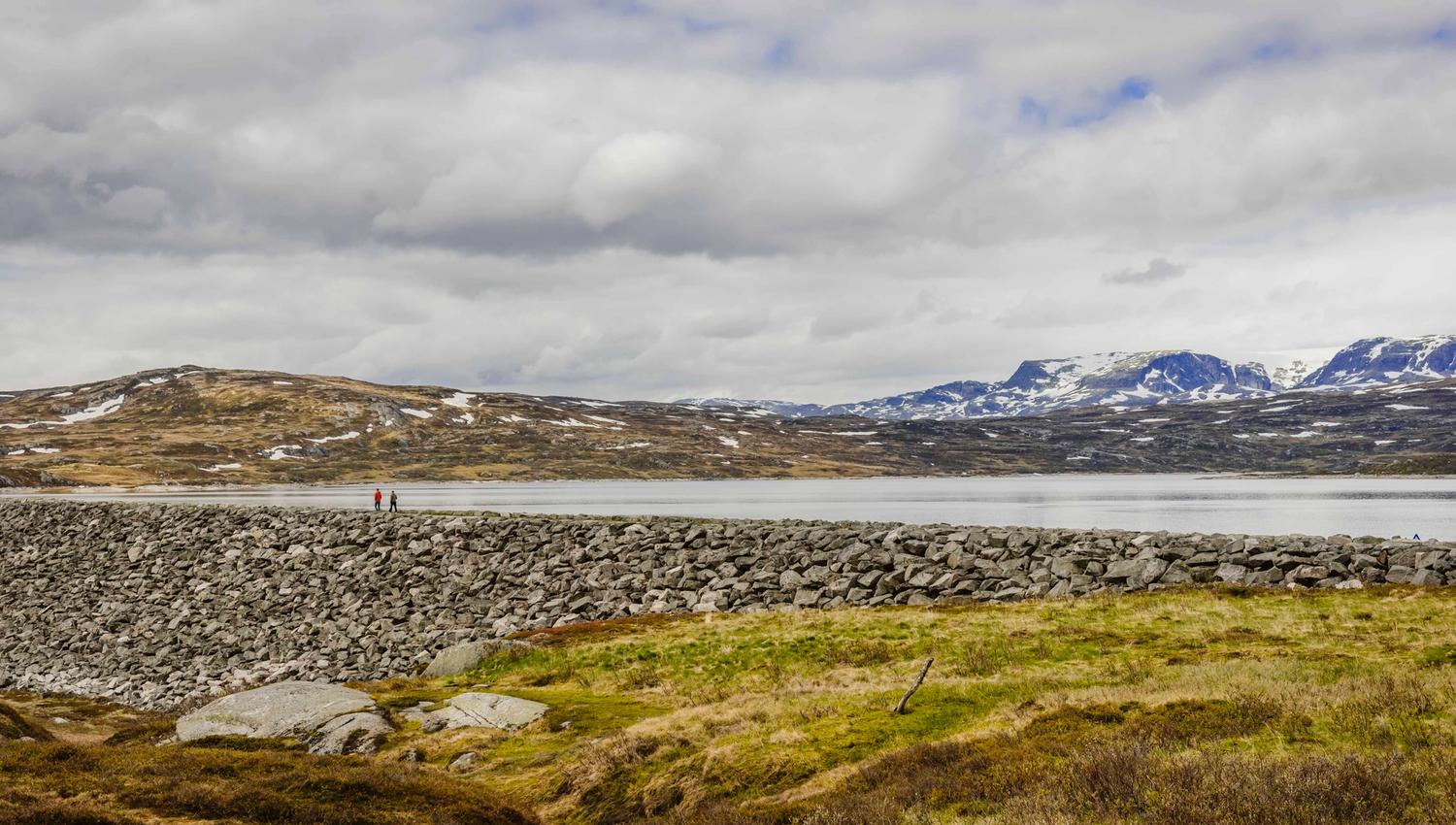
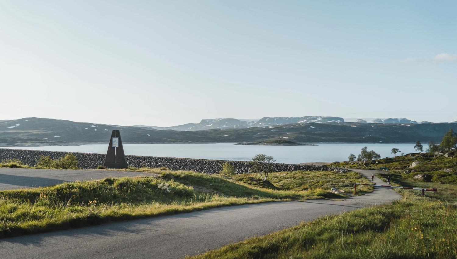
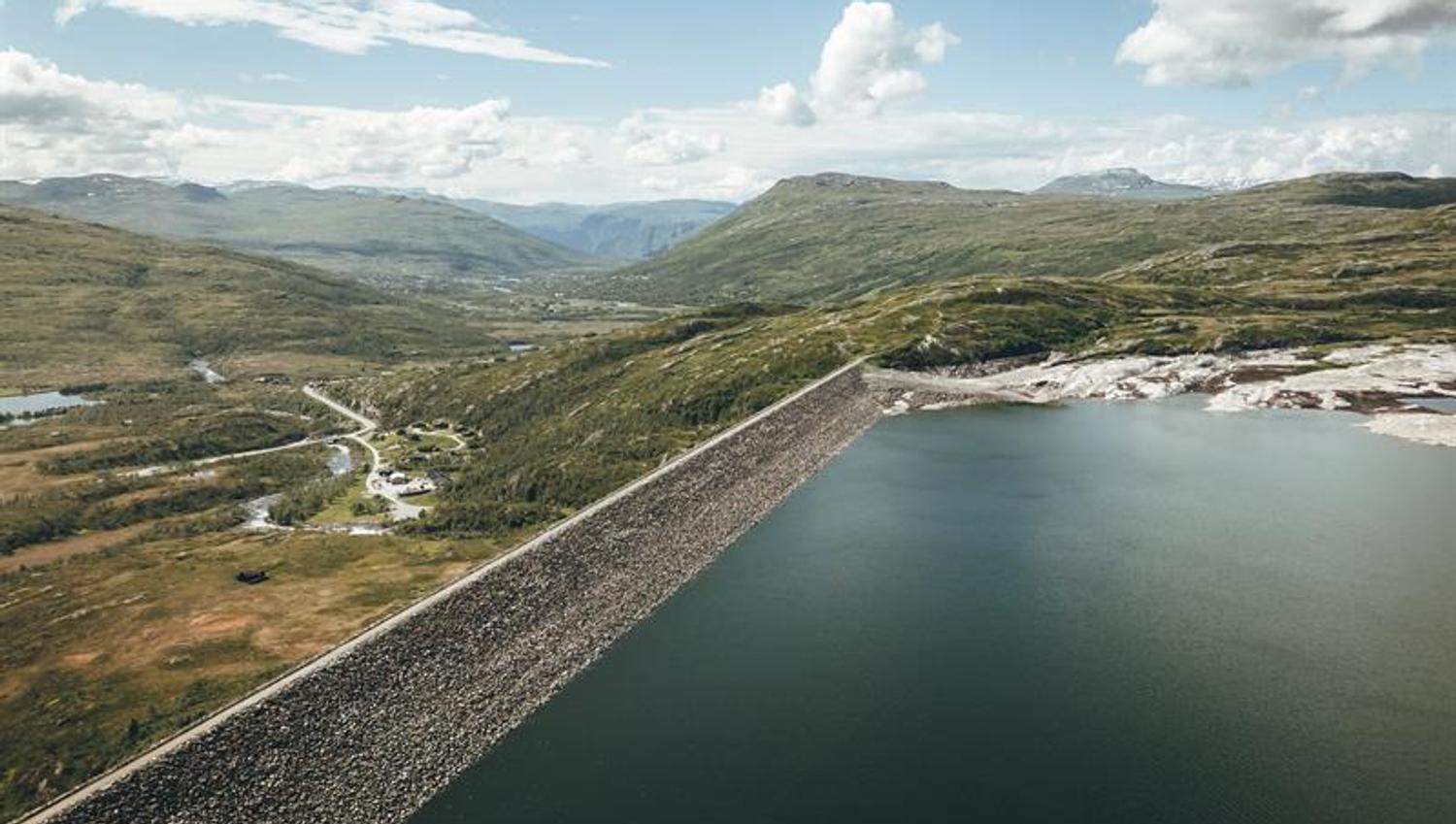
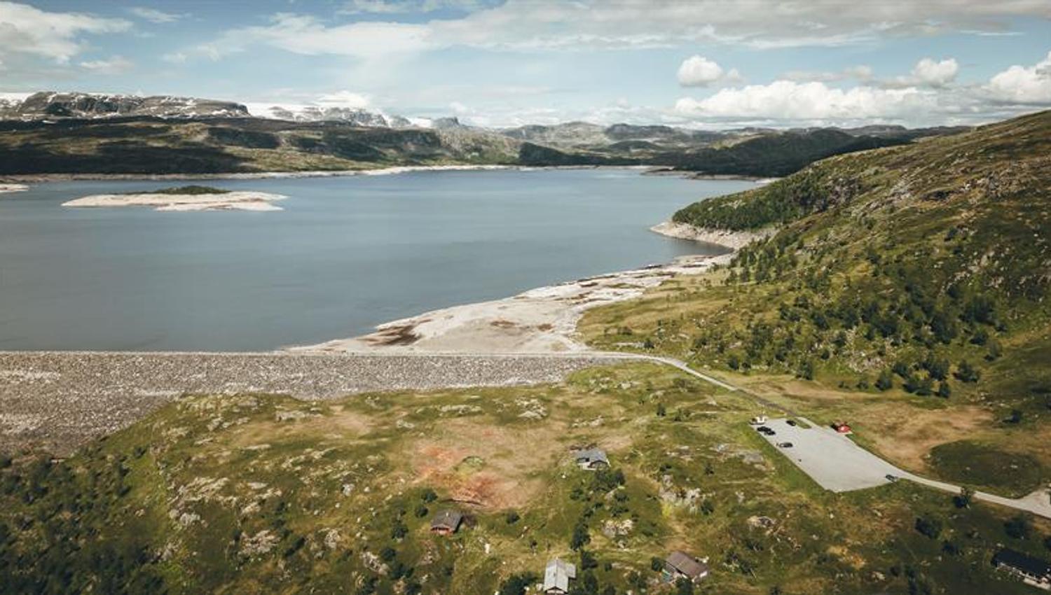
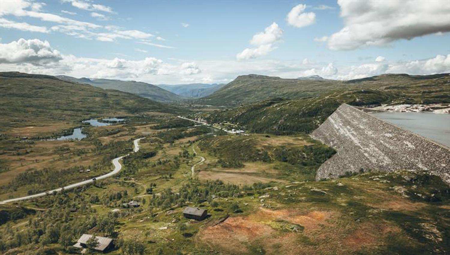
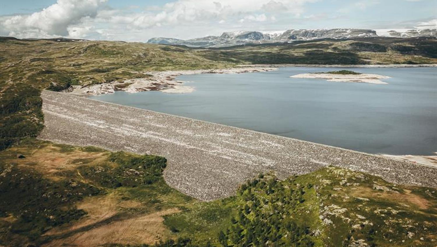
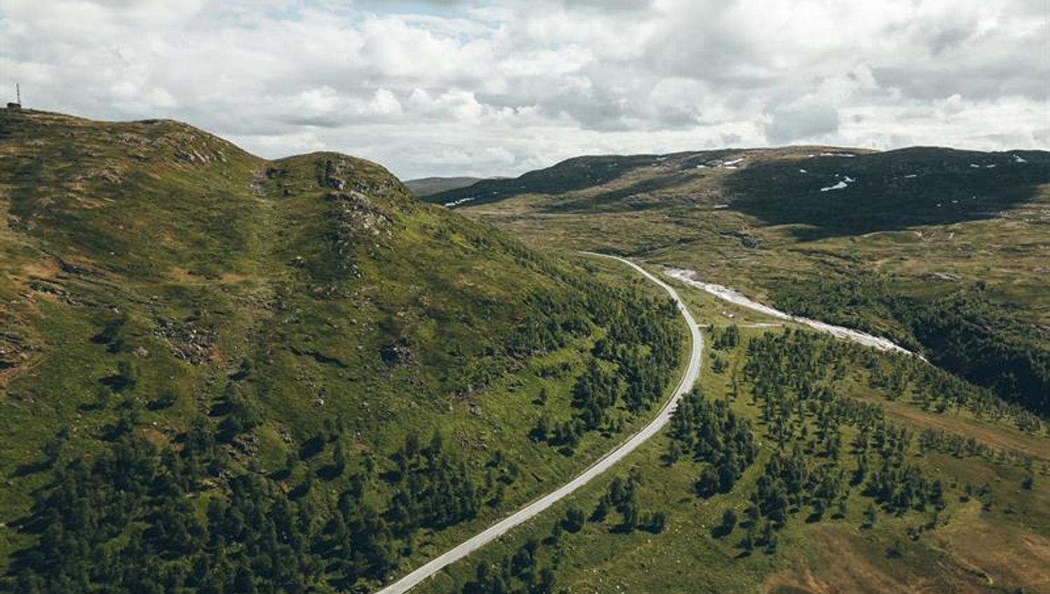
At the top of Sysendalen valley lies one of Norway's largest stone-filled dams. The dam is located close to Route 7 and is easily visible from the road.
One of Norway's largest rockfill dams. Length 1.160 m., it consists of 3,6 mill. m3 stone and moraine. The dam can be seen from Route 7. Info and parking near the dam.
The dam dams the lake Sysenvatnet, the main reservoir of Sy-Sima. It is 81 meters high, 1,160 meters long and the width at the bottom is 248 metres. The dam consists of 3.6 million m3 of stone and fill material. Inside, the pond has a core of mud that acts as a seal. It took 6 years to build the dam before it was completed in 1980.
The water supply to Vøringsfossen is regulated by Sysendammen. In the summer season, there is a requirement for a minimum water flow, and this water is also used to increase power production in the Leiro power plant below Sysendammen.
The dam represents large facilities in the high mountains and advanced power development from the 1970s. It's impressive with its size and location.
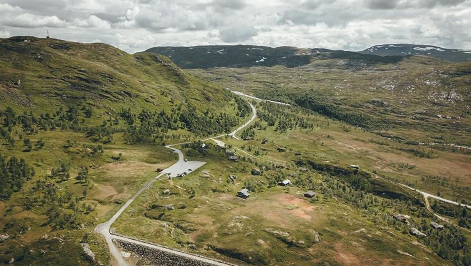
There is a car park and an information board by the dam.
Bron: Destination Hardanger Fjord AS